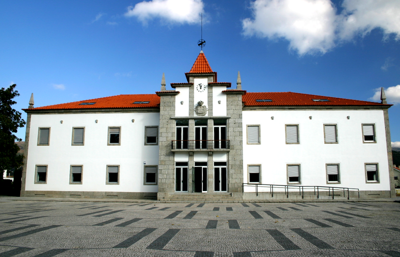
Vieira do Minho Municipality

Vieira do Minho is the seat of a municipality with 218,05 km² area and 12 997 habitants (census 2011)[1] , subdivided into 16 parishes.[2] The municipality is bordered to the north by the municipality of Terras de Bouro, the north and east by Montalegre, southeast by Cabeceiras de Basto, on the south by Fafe, southwest by Povoa de Varzim and northwest of Amares.
Vieira do Minho is also a Portuguese village which gives its name to the municipality and is located in Braga District, the North and the Ave subregion, the parish has about 2 200 habitants.
The highest point of the municipality is located in the Serra da Cabreira more precisely in the High Talefe, with altitude 1262 meters.


